
A joint venture of the Harry Hilp Foundation and Rhodes Western Incorporated developed the property originally known as East Camelback Mall, with a two-level, 138,400 sqft Sears opening May 23, 1962, as the first completed structure on the 37.6-acre site, followed by a matching Rhodes department store in 1963. The two anchors were connected by a single-level, twenty-store mall, later expanded with a Britts junior anchor.
The property was renamed The Colonnade after a lengthy series of anchor rebrandings: Rhodes became Liberty House in 1974, then Joske’s in 1978 (which closed in 1982), while Mervyn’s opened in a new 80,000 sqft space in 1979. In 1988, the mall became one of Phoenix’s early “freeway friendly” centers following completion of the Squaw Peak Parkway, since renamed the Piestewa Freeway, which physically bisects the property.
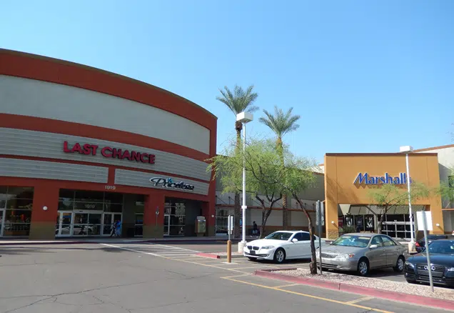
The enclosed mall format has since given way to an open-air plaza, now branded Camelback Colonnade and managed by RED Development, carrying more than 40 shops and restaurants including Fry’s Food and Drug, Marshalls, Best Buy, Burlington and Nordstrom Rack. The property sits at Camelback Road and 20th Street, adjacent to RED’s own Shops at Town & Country and near Biltmore Fashion Park, in the heart of Phoenix’s Camelback Corridor.
That decades-long anchor churn, followed by a wholesale conversion from an enclosed 1960s regional mall into an open-air power center, reflects a redevelopment pattern common among Phoenix’s earliest shopping centers: rather than attempting to sustain an aging enclosed format against newer, larger malls built later in the metro area, owners have increasingly demolished and rebuilt these properties around off-price and grocery anchors serving a defined local trade area.